Accurate surveying is essential to successful land development, construction, and infrastructure projects. At Coastal Engineering Associates, Inc., our survey department is led by a Florida-registered Professional Surveyor, supported by experienced field crews and CAD technicians. Using state-of-the-art survey equipment, we give our clients the information they need to make informed decisions and move projects forward with confidence.
Comprehensive Surveying Services
Every project has different requirements, so we offer a range of surveying services for public and private clients. Our capabilities include ALTA Boundary Surveys, Boundary surveys, topographic surveys, preliminary surveys, subdivision surveys, construction layout and field staking, Preliminary Plats and Final Plats, and FEMA surveys and elevation certificates.
Whether you’re developing a property, planning improvements, or preparing for construction, accurate survey information provides an important foundation for the work ahead. Our team can help establish existing conditions, property boundaries, elevations, and other site information needed for planning, design, permitting, and construction.
Residential & Commercial Development
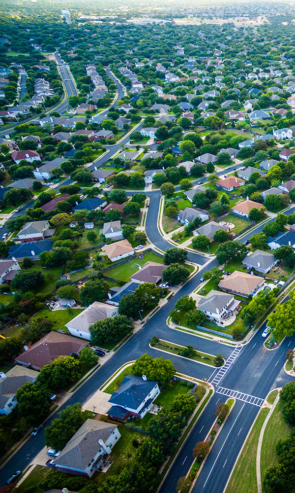
Surveying plays an important role in residential and commercial site development. Before finalizing plans or starting construction, land owners and/or developers need a clear understanding of the property, including boundaries, existing features, elevations, and other site conditions.
Our surveying team can provide the field information needed to support planning, engineering, platting, and construction layout. Accurate information early in the process can help keep projects organized from initial planning through implementation.
Transportation & Infrastructure
Roads, highways, utilities, and other infrastructure projects require dependable survey information throughout development and construction. We have experience providing surveying services for public roads and highways, as well as utility layout and location.
Survey data can establish existing conditions, support engineering and design work, and give construction crews the information they need to accurately lay out improvements in the field.
Construction Layout & Field Staking
We provide construction layout and staking for site civil contractors and general contractors, performed under the direction of a Florida-licensed Professional Surveyor and Mapper.
Our site civil staking services include horizontal and vertical control, clearing limits, erosion control, rough and finish grade, stormwater ponds and drainage structures, storm sewer, sanitary sewer, water main, curb, pavement, sidewalk, and lot corners. We also provide re-stakes of disturbed points.
For building construction, we stake building corners and offsets, verify pad elevations, and lay out foundations and grid lines.
At project closeout, we prepare as-built and record surveys for utility acceptance, stormwater certification, and agency submittals.
FEMA flood plain surveys & Elevation Certs
We prepare FEMA Elevation Certificates and floodplain surveys for property owners, builders, developers, lenders, and insurance agents, signed and sealed by a Florida-licensed Professional Surveyor and Mapper.
Elevation Certificates document a building’s elevation relative to the Base Flood Elevation. They are used for flood insurance rating and for building permit compliance in Special Flood Hazard Areas. We prepare certificates for all three construction stages: based on construction drawings, for buildings under construction, and at finished construction.
Our floodplain surveys include topographic surveys and floodplain boundary delineation for site design, permitting, and floodplain analysis. We also provide the survey data needed for Letters of Map Amendment (LOMA) and Letters of Map Revision Based on Fill (LOMR-F), which can remove a property or structure from the Special Flood Hazard Area. Our engineering team can prepare floodplain compensation calculations and handle the LOMA/LOMR-F submittal to FEMA.
Experienced Surveying for Your Project
Since 1958, Coastal has been serving Florida’s Nature Coast. We understand the importance of practical, accurate information. Our multidisciplinary team can support projects ranging from individual properties to larger residential, commercial, transportation, and infrastructure developments.
If you’re planning a project and need dependable surveying services, Coastal Engineering Associates, Inc., is ready to help. Contact us today to discuss your project and learn how our surveying team can provide the information you need to move forward.
Proudly Serving Florida’s Nature Coast since 1958
COASTAL employs a full complement of multi-disciplined personnel and has a comprehensive range of professional capabilities from feasibility consulting through alternative analysis to implementation that can effectively meet individual client specifications.